Recently I had an exhibition of my artworks at Gatakers Gallery in Maryborough - and whilst up there did a bit of sightseeing and photographing around town ...
Gatakers Artspace  Maryborough Court house - built in 1877
Maryborough is a city in the Fraser Coast Region,
Queensland, Australia sited on the Mary River. The region has a population of
around 30k.
Evidence of human inhabitation of the Maryborough region
stretches back to at least 6,000 years ago with the Gubbi Gubbi and Batjala people
the original inhabitants of the region.
Maryborough was first settled by British colonialists in 1843
and the city itself was founded in 1847.
Post Office Hotel - 1889
Maryborough Post Office - 1865
another view
War Memorial - 1922 -
honouring the 100 local men who fell in WW1 and 55 who fell in WW2
another view
... figure sitting waiting for her man to return from the war -
part of the ANZAC memorial walk - honouring all victims of hostilities
view of the Mary River - looking east
grand old fig tree in Queens Park - part of the Botanic Gardens
battlements ready for the invasion
bandstand with Court House in background
Customs House - 1899
Mary River
again
bond store - 1864
... and on the corner of that same bond store are the recorded levels
of the flooded Mary River from the 1800s and 1900s ...
Portside Restaurant - housed inside the 1899 Customs House residence ...
overlooking the park to the Mary River
... another view ...
School of Arts Building
constructed in the classic revival style in 1887
Maryborough City Hall
designed by architects Hall and Dods and built in 1906-1908
now used as the town hall ...
Maryborough State High School
building dated back to 1881
... again ...
The Mary River - looking east
The river rises at Booroobin in the Sunshine Coast
hinterland, south west of Maleny, and from its source, the Mary River flows
north through the towns of Kenilworth, Gympie, Tiaro and Maryborough before
emptying into the Great Sandy Strait. The river descends 209 metres (686 ft)
over its 291-kilometre (181 mi) course.
The river was used for rafting timber during the early
years of European land settlement, and the discovery of gold at Gympie in 1867
brought an inflow of miners and pastoralists. Alluvial flats along the Mary
River and some of its tributaries were used for cropping, and there was
small-time dairying in the 1880s.
Queen's Park and botanic gardens
Bolga Theatre and Convention Centre
... a sample of some of the stately homes
dotted along the banks of the River ...
... another view of the river looking north ...
The Story Bank House - c1880s
now houses the PL Travis ( Mary Poppins author ) museum
... and here's Mary P herself ...
... another of the grand late 1800's buildings ...

 Maryborough Court house - built in 1877
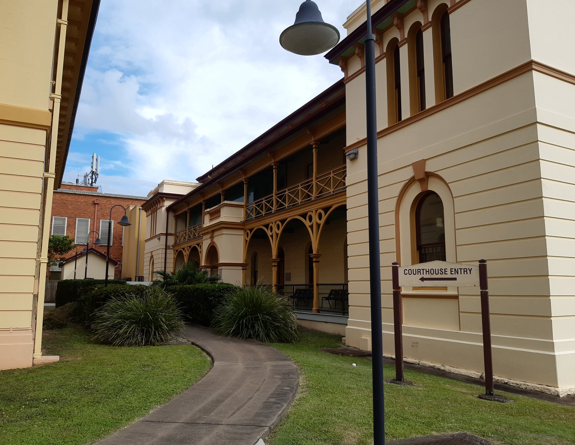


No comments:
Post a Comment
Note: Only a member of this blog may post a comment.